Design, construct and maintain fibre optic networks more efficiently by providing field crews with access to real-time data and tools to plan, track, and manage their work.

in over 190 countries that effectively collaborate on geospatial data with Mergin Maps software.
Field crews can take photos to visualise existing fibre optic infrastructure and external features to digitize network design.
Workers can collect and log information about assets like poles, conduits, splice points, and customer locations, as well as track their location using GPS.
Access project plans, assign tasks, track progress, manage deadlines, and report issues in real-time, streamlining workflow and communication from your desktop or mobile device.
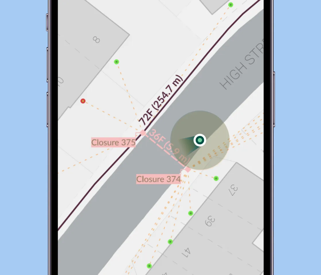
Access and manage permits, schedule and conduct inspections, and submit inspection results for compliance and record-keeping.
Access and work with GIS data in areas with limited or no internet connectivity, ensuring uninterrupted operations in remote locations.
Use the app to pinpoint damage to fibre optic infrastructure, initiate repair workflows, and track repair progress.

Enable your team to view, edit, and update network designs and asset data directly on their mobile devices. Ensure that field personnel have the latest and most accurate information at their fingertips, leading to better decision-making and reduced errors.
Access project plans, assign tasks, track progress, and manage permits and inspections. As a result, crews can complete tasks more quickly and effectively, boosting productivity and reducing downtime.

Make informed decisions about network planning, maintenance, and expansion. By visualising existing infrastructure, identifying potential issues, and tracking asset conditions, companies can optimise network performance, minimise disruptions, and proactively address potential problems.
Facilitate seamless communication and collaboration among field crews, project managers, and office staff. Crews can share information, report issues, and receive updates in real-time, ensuring that everyone is on the same page and working towards common goals. This improves overall coordination and collaboration across the organization.


